2GIS in Kyrgyzstan has added a detailed map of the Talas and Naryn regions.
Author - Mansur Ismagulov

The Tech AI
Get the key points in seconds - a short summary from The Tech AI.
2GIS in Kyrgyzstan has launched a detailed map of the Talas region, covering an area of 11,400 square kilometers. The map features key highways and includes information about cafes, pharmacies, stores, auto service stations, and gas stations. The service is available on mobile versions for Android and iOS, as well as on the website 2gis.kg. The map allows users to build routes and navigate even without an internet connection.
2GIS has launched a detailed map of the Talas Region in Kyrgyzstan. Now, users of the geoservice can find attractions, cafes, shops, and build routes to them in the region.
The total area of the Talas Region is 11,400 square kilometers. As with the rest of the territory detailed in 2GIS, key highways are mapped, navigation routes are refined, and reference information about cafes, pharmacies, shops, auto service stations, and gas stations has been compiled.
The map, business directory, and navigator for the Talas Region are available in the mobile versions of 2GIS for Android and iOS, as well as on the 2gis.kg website. Simply download the regional map to your phone, and you can navigate the city, build routes, find hotels, cafes, gas stations, and attractions in the Talas Region even without an internet connection.
Source: kaktus.media
The Tech on Telegram Follow The Tech on Telegram
Keep up with the latest technology and startup news.
Related reading







More from this author

News
zypl.ai begins operations in Japan and focuses on next-generation risk models
Mansur Ismagulov

News
Elon Musk's net worth has exceeded $700 billion for the first time
Mansur Ismagulov

Article Interviews
"Central Asian countries should build a joint ecosystem," — Bekhzod Ismoilov on the development of AI in the region
Mansur Ismagulov

Article Interviews
Bloom's Taxonomy and Engineering Levels: A Practical Growth Model
Mansur Ismagulov
Article Useful
How the IT industry in Azerbaijan developed in 2025: key events
Mansur Ismagulov
News
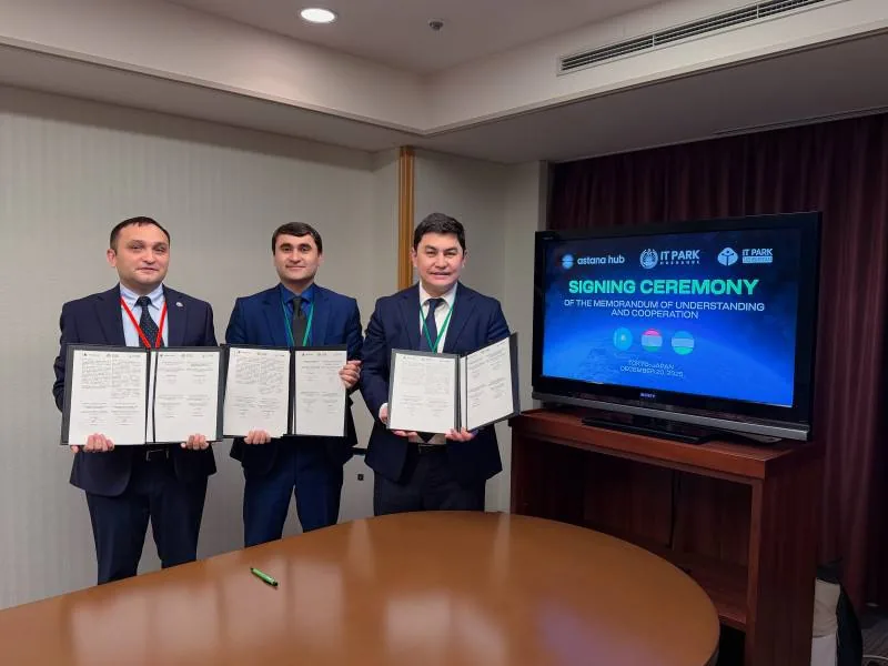
Tajikistan has become a new member of the regional innovation alliance Central Asian Innovation Hubs.
Mansur Ismagulov